I would really love it if they took this a step further. Instead of buying a big block that can become a massive park like Central Park in NYC or Golden Gate Park in San Francisco. It would be more interesting if they created a "graph" of park nodes linked by park edges so that there isn't a separation between the two. For an example of what such a project could look like check out this proposal for the city of São Paulo called Ecos na Paisagem:
It's remarkably hard to find images of what it used to look like. I've seen some before. Here's what one section looked like in the 1870s when the railroad run underneath it:


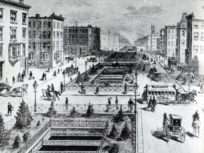
http://www.flickr.com/photos/12588351@N02/sets/7215762319266...
Additionally, Park Avenue was on e an example of this when it used to be a park that stretched from Central Park to Battery Park:
http://stuffnobodycaresabout.com/2011/05/27/old-new-york-in-...